The number one problem with boreholes is that you usually do not know if you will find water until you’ve drilled a massive hole in the ground. Another problem in coastal areas is over-pumping, which over time draws salt water into the groundwater reservoirs and destroys the drinking water supply. Both problems are global and critical in developing countries because of combined population growth and climate change.
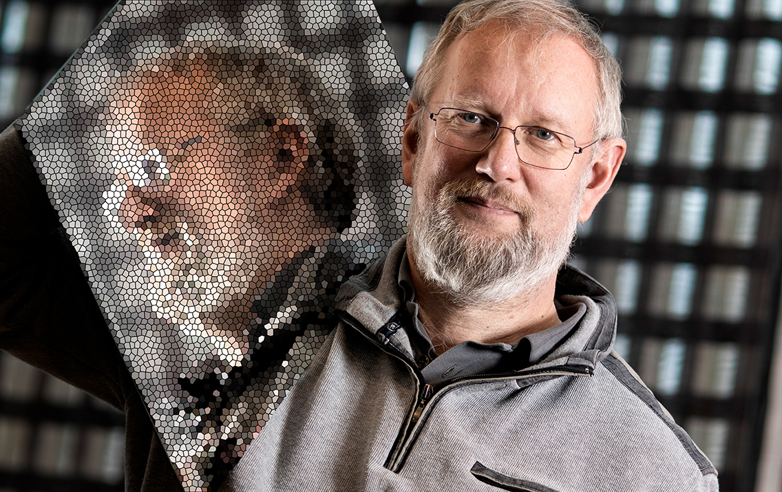
- The HydroGeographics research group at Aarhus University GeoScience have developed a lightweight tTEM tool to map the underground in three dimensions and in great detail. You can find out more about the technology and its potential here: Meet the researchers.
- In 2021, the Foundation granted 2.2 mDKK to develop SuperTEM. This project stands on the shoulders of the results from our previous engagements. Find out more about the project here.
Previously, the device has been used hanging from a helicopter in the US, Europe, and even in Antarctica. In Denmark, a more ‘grounded’ version is used which is pulled by an ATV. It can map up to 100 hectares (247 acres) in one day.
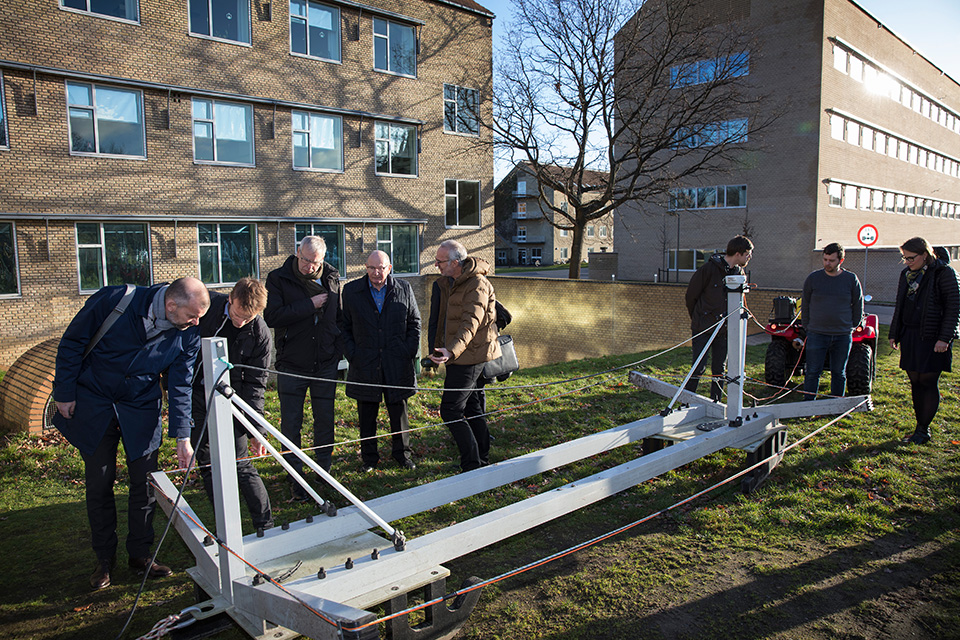
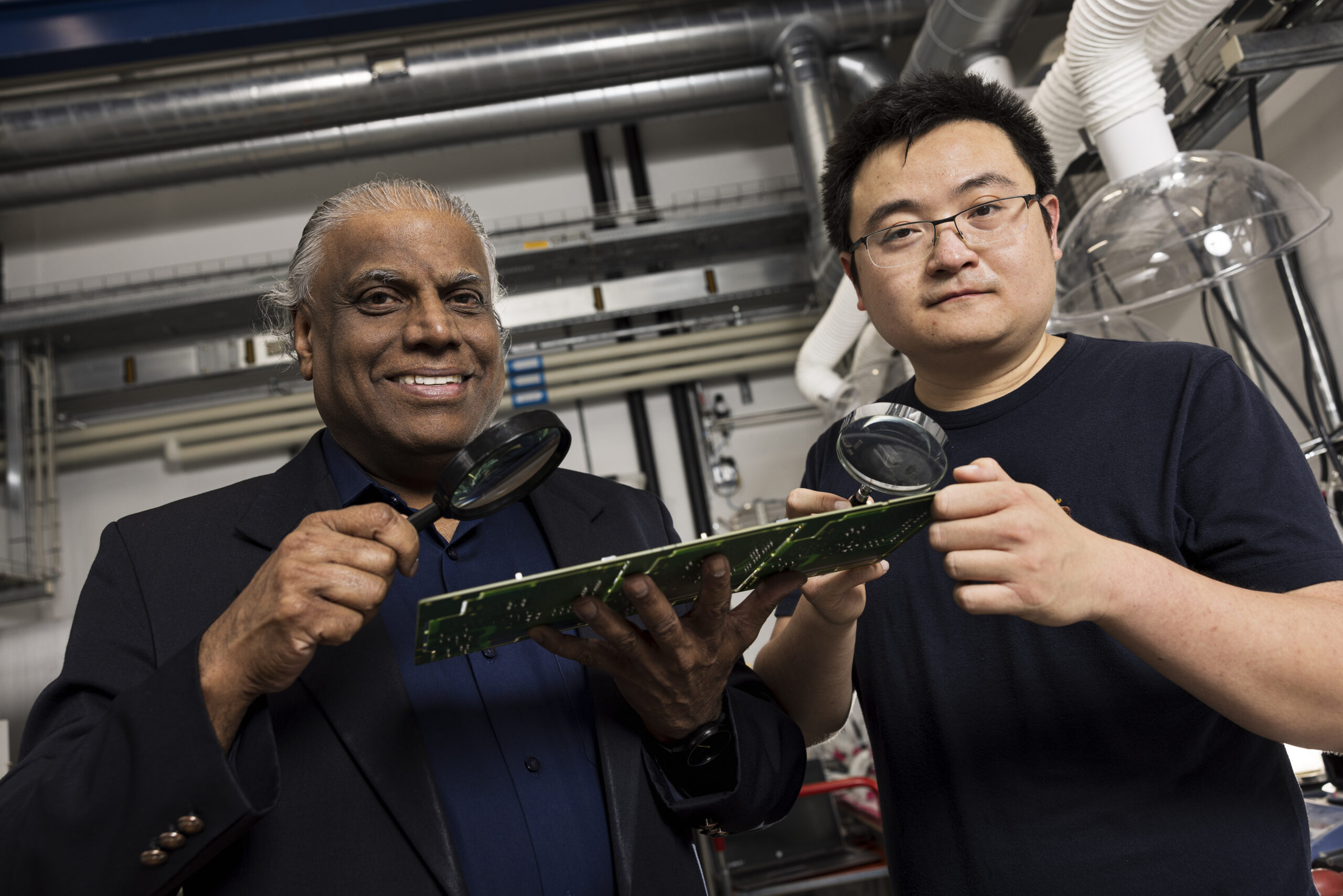
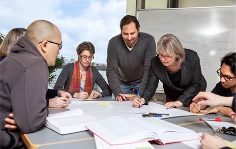
Professor Esben Auken et.al. showing the device to Niels Due Jensen, Kim Nøhr Skibsted and Poul Toft Frederiksen. Photo: Søren Kjeldgaard/AU
Killing two birds with one stone
There are two goals with the reseach project:
- To develop and demonstrate the technical and business potential for detection of underground water reservoir in Africa through two test campaigns in WesternTanzania,
- To develop making the device usable by non-geologists. This is a prerequisite for rolling out the technology in large scale.
We hope the project can demonstrate remarkably improved possibilities for sustainable water supply management and that it will contribute to developing new methos to monitoring saltwater intrusion in coastal areas.
Tests in Tanzania
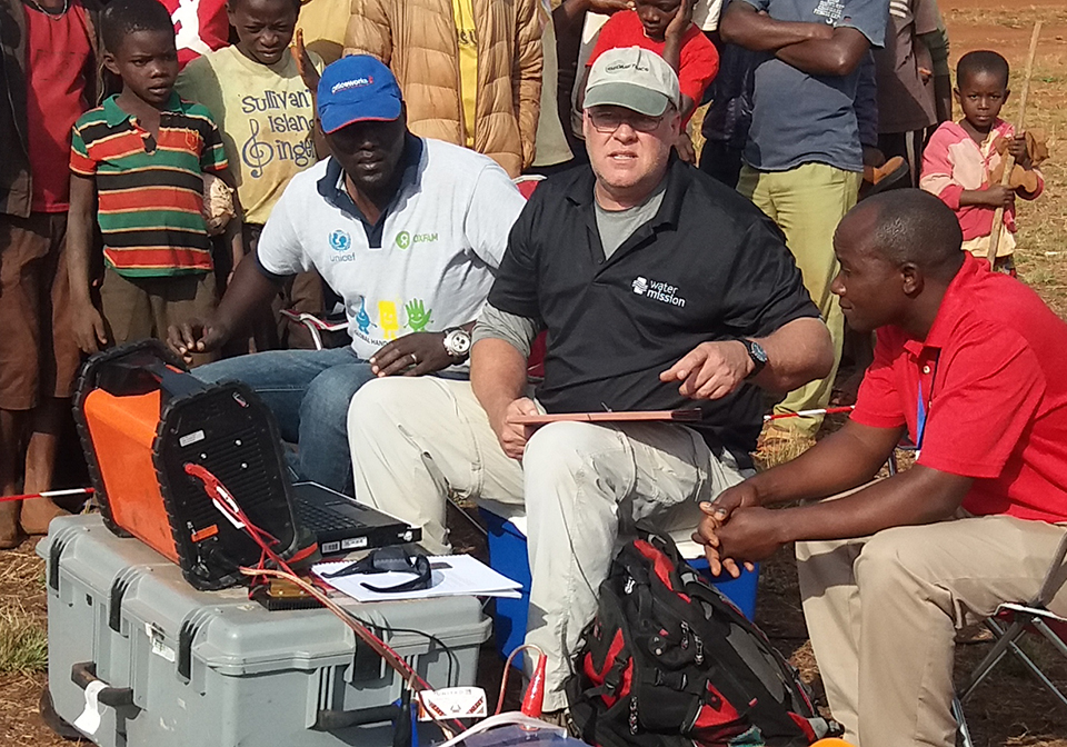
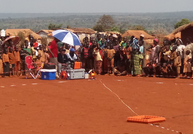
The new device will be tested twice in collaboration with the Foundation’s water partner, Water Mission. The technology has already, in a more primitive version, been used in the Foundation’s Nyarugusu water project in Western Tanzania by one of Esben Auken’s research fellows (Dr. John Lane, US Geological Survey, who will participate in the project). The device helped identfy the area’s largest groundwater source in 2017.
If successful, the project supports two of the Foundations philantropic programmes (Research and Water), contributes to achieving UN Sustainable Development Goal 6 and could in time lead to interesting business opportunities for Grundfos and its partners.


